
The very calm winds and seas made it easy for us to choose our route when we reached the eastern part of Southern New England. Definitely a prescription for Georges Bank! Normally a tough area to survey because of the lack of shelter from any quarter, we took this forecast as a gift. We were able to sample all of Georges Bank within 5 days and then moved into the Gulf of Maine on Sunday, June 18.
Plankton catches from Georges Bank varied widely, from tows with almost nothing in them, to those full of Calanus copepods. Their amber-colored oil-filled bodies give the net the appearance of being full of tomato soup. Other tows were dominated by phytoplankton, obvious from their brownish-green color.
We have also continued finding pteropods, our tiny planktonic snails, although not in the very large numbers we encountered further south in the mid-Atlantic Bight. Sometimes we get a preview of some of the smaller organisms we might catch from a look at the computer screen of our Imaging FlowCytoBot. It has been showing large numbers of dinoflagellates as opposed to the diatoms and small pteropods that we also had in the mid-Atlantic Bight.

Launching Drifter Buoys
Our students launched two drifter buoys on Georges Bank with help from the deck crew. The latest generation of NOAA Drifter buoys—or “surface velocity profilers” as they are now designated—are heavier than they used to be. The two-part design is still the same. First, there’s a beach-ball sized surface float containing a telemetry system to transmit its position and sea surface temperature to a satellite, plus batteries to power the system. Second, a device called a drogue hangs below the surface float to a depth of 15 meters to make sure that the buoy will be moved by surface currents rather than winds.

After the students decorated the surface floats, we launched the buoys while we were on the outer edge of Georges Bank. They may get picked up by the Gulf Stream and transported across the Atlantic Ocean. You can follow their progress online (track drifter buoys #5301663 and 5301666).

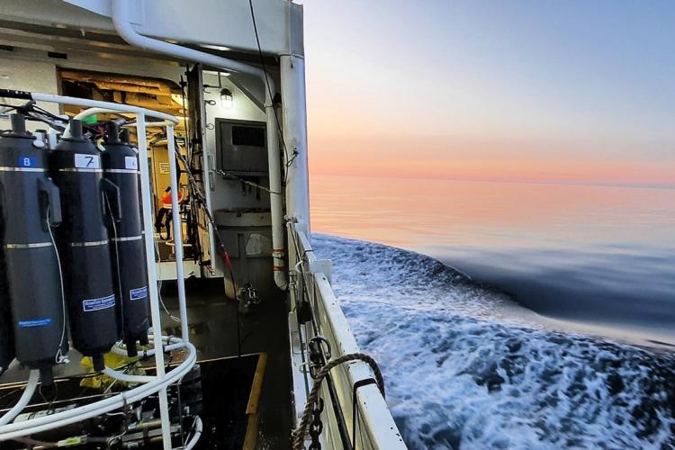
The science staff continues to work closely with the command and crew of the vessel to ensure smooth data and sample collection. The crew often provide insights to improve how we do things. They helped us with one of our nets, a Canadian ring net, which is towed vertically from just above the sea floor to the surface. It is a rather unwieldy piece of equipment to deploy, and the crew has been very helpful with ideas to make using it easier and safer.
A Unique Find

On June 19 in the eastern Gulf of Maine, the ship recovered a bright yellow-green object in the water spotted by our seabird observer, Nick Metheny. It had a small plaque indicating that it was a cover from a life raft used by Canadian Transport and Rescue Squadron 413. This has been one of Nick’s more unusual sightings of the trip! On the morning of June 20, we are working our way westward and north into the central Gulf of Maine.
Sampling the Gulf of Maine
Sampling the Gulf of Maine is the final phase of this cruise. This is a very large area which we have not been able to sample completely in recent years, limited by ship time and weather conditions. This year however, we are on schedule to complete everything we have set out to do. I am pleased that we’ve had a winning combination of excellent weather, a smoothly functioning vessel and a great crew to help us along. This will be the year for a really complete survey!